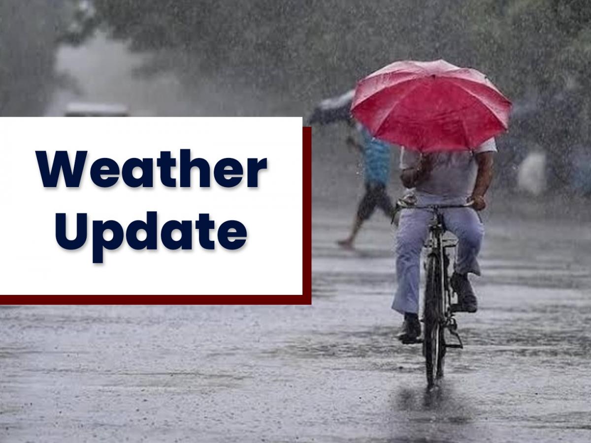
IMD WEATHER ALERT: HEAVY RAIN AND THUNDERSTORMS SWEEP NORTHEAST INDIA
Summary of the News Article
The India Meteorological Department (IMD) has issued a weather alert for the Northeast, warning of heavy rainfall and thunderstorms from June 14 onward. States like Assam, Meghalaya, Arunachal Pradesh, and others are expected to face extreme weather, including gusty winds and lightning. The alert calls for caution as the monsoon strengthens across the region. Local residents are urged to stay updated and follow safety measures.
Introduction: The Sky Is Roaring and It’s Not Just Drama
Monsoons in Northeast India are no joke. The rains arrive like clockwork, but when the Indian Meteorological Department (IMD) issues an official weather alert, you know things are about to get serious. This isn’t your regular shower—it’s a full-blown meteorological performance with thunderclaps, lightning shows, gusty winds, and possibly flooded roads.
Where Is It Raining the Most?
Assam
This state’s no stranger to monsoon fury. The IMD says districts like Kamrup, Dibrugarh, and Barpeta should brace for extremely heavy downpours. Local flooding is likely.
Meghalaya
Shillong, Cherrapunji (already one of the wettest places on Earth)—yep, they’re about to get even wetter. Landslide risk? Very real.
Arunachal Pradesh
Steady rain and storms could cause waterlogging, damage to small bridges, and road blockages in hilly areas.
Nagaland, Manipur, Mizoram
Frequent lightning and moderate to heavy rain are expected. Short-term power outages may follow.
The IMD Alert Levels—Decoded
You’ll often see “Orange” or “Red” alerts in weather bulletins. But what do they actually mean?
- Yellow Alert: Watch out. Nothing too dangerous yet, but keep your eyes on the skies.
- Orange Alert: Be prepared. Conditions are worsening. Travel plans? Might wanna cancel.
- Red Alert: Take action. Emergency situations like floods, landslides, or evacuations are possible.
Right now, many northeastern districts are under Orange and Red alerts. Translation? Take it seriously.
Lightning, Winds, and Flooding: What to Expect
This isn’t just a story about heavy rain. Here’s what the full IMD forecast is warning us about:
- Lightning strikes (dangerous and unpredictable)
- Wind gusts up to 50 km/h (enough to knock over light poles or snap branches)
- Waterlogging in cities
- Flash floods and landslides in rural or mountainous areas
Day-by-Day Forecast Highlights
Let’s look ahead so you can plan better:
June 14–16:
- Heavy rain across Assam, Meghalaya, and Tripura
- Flood alerts in riverbank areas
June 17–19:
- Storms move toward Nagaland and Arunachal Pradesh
- Risk of landslides in hilly areas
June 20 onward:
- Rain continues, possibly shifting west
- Red alerts might extend to more districts
FAQs
Q1. Why is Northeast India getting so much rain right now?
A: The southwest monsoon has hit the region, powered by moisture-laden winds and low-pressure systems.
Q2. Which are the worst-hit states?
A: Assam, Meghalaya, and Arunachal Pradesh are currently under red and orange alerts for heavy rain and thunderstorms.
Q3. Is it safe to travel this week?
A: Travel is not advised in areas under heavy rain alerts due to flooding and landslides. Always check updates.
Q4. Can schools be closed due to this alert?
A: Yes. Local governments may close schools if safety is at risk. Stay tuned to local news.
Q5. How can I track the latest weather updates?
A: Use the IMD website or apps like Mausam, AccuWeather, or Windy for real-time forecasts and alerts.


